Manifesto for the uk Government
The Manifesto calls on all political parties to take bold action on road transport emissions, prioritising walking and cycling, to tackle the climate crisis for future generations.
Shortlisted for Creative Review
Shortlisted
The Project
The Manifesto calls on all political parties to take bold action on road transport emissions, prioritising walking and cycling, to tackle the climate crisis for future generations. Amongst its five main recommendations, it asks candidates to commit to a 20-minute neighbourhood planning principle for all cities and towns so that everyone can walk and cycle for their everyday services and needs.
Climate change is the greatest environmental and health risk of the 21st century. Transport accounts for 26% of the UK’s greenhouse gas emissions, primarily coming from petrol and diesel vehicles. For me having a strong and fruitful relationship with Sustrans, it was the perfect brief.
“The work Harriet produced for this project has really resonated with, and inspired everyone who’s seen it. Engaging and original, Harriet’s illustrations are playing a vital role in helping us promote our manifesto effectively by capturing our vision so beautifully.” Kate Strange, Director of Brand & Marketing, Sustrans.
The brief
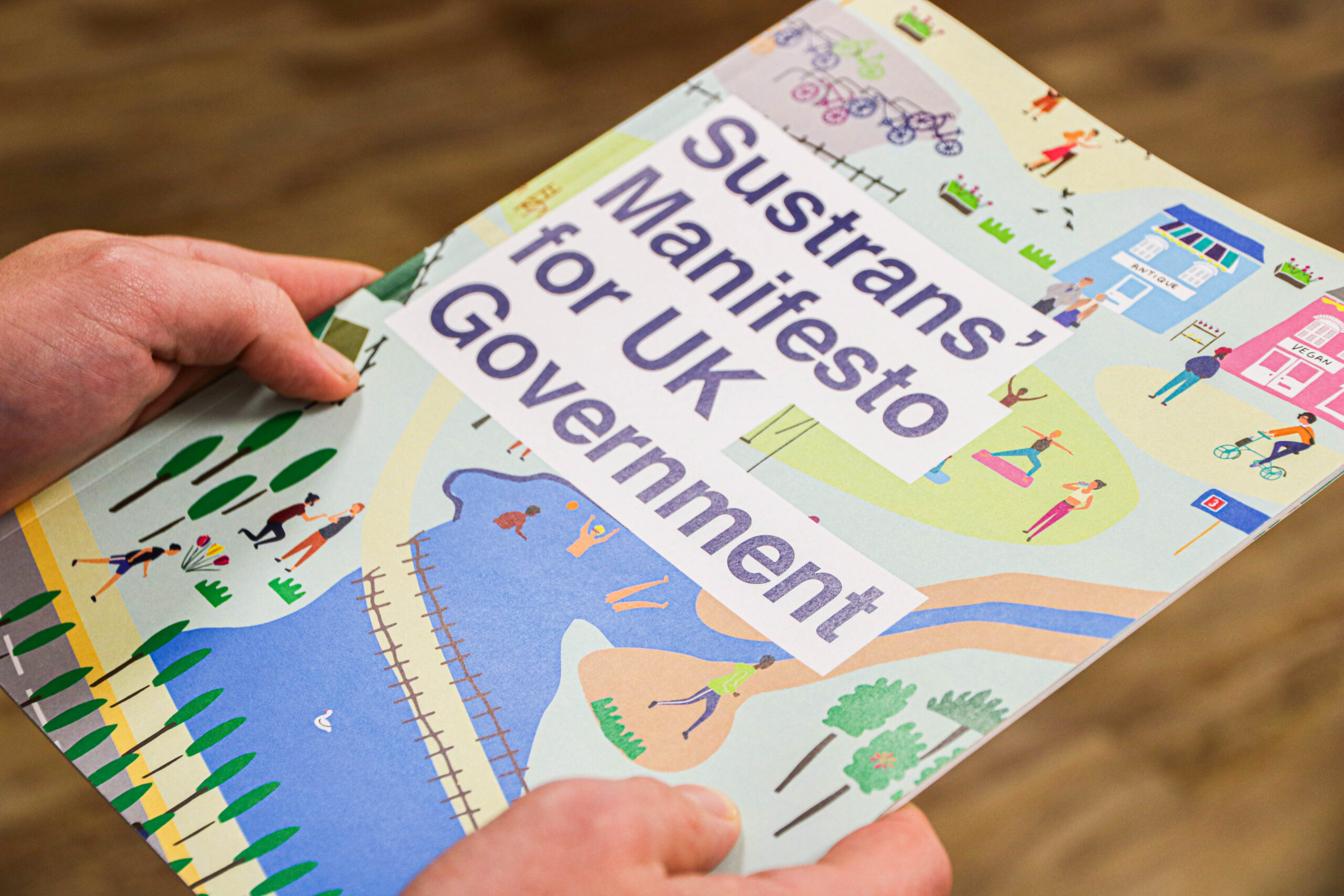
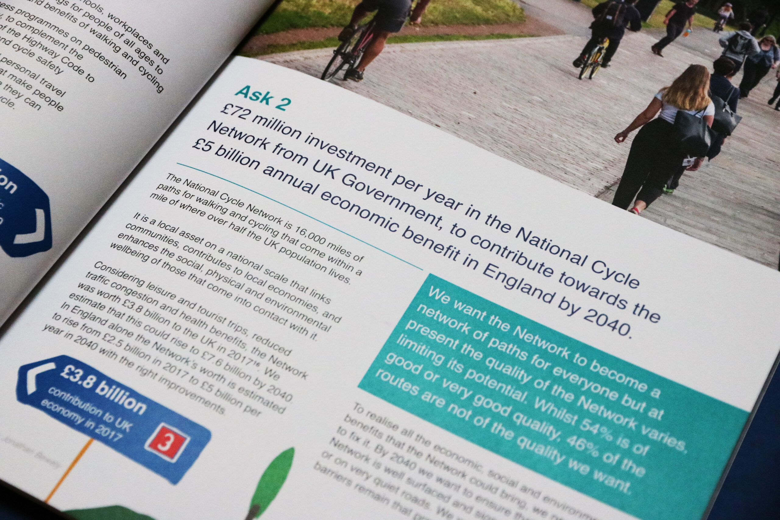
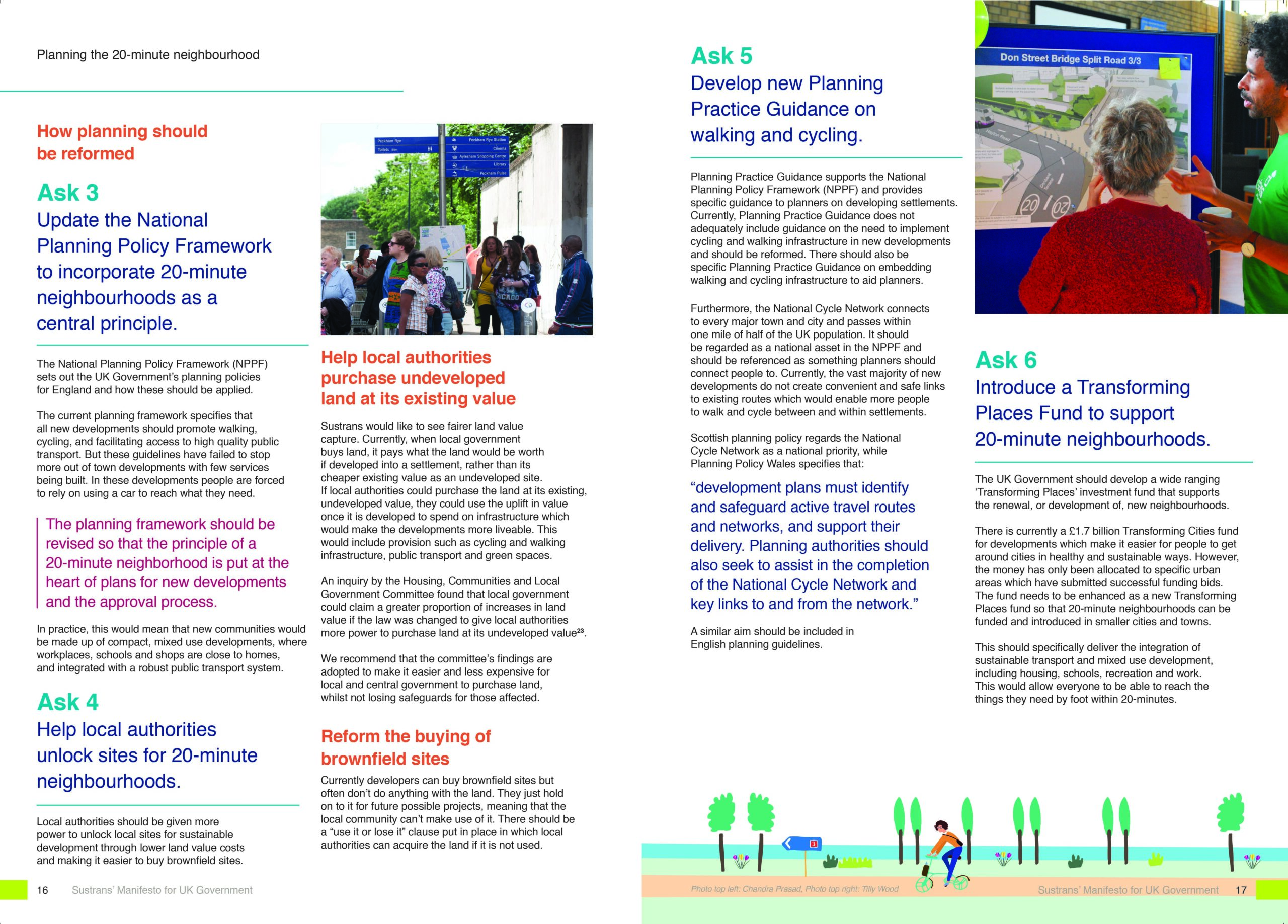
The project had two parts; creating a map of a 20-minute neighbourhood, then illustrating , designing and capturing their vision across a forty+ page Manifesto. The brief was clear, it had to be eye catching, impactful and engaging to all UK political parties, the wider general public and electorate.
The map had to visually represent Sustrans’ five key aims and, in particular, their ask that a future Government commit to:
A 20-minute neighbourhood planning principle for all cities and towns.
- Transform the school journey to help children walk, cycle and scoot in safety and with confidence.
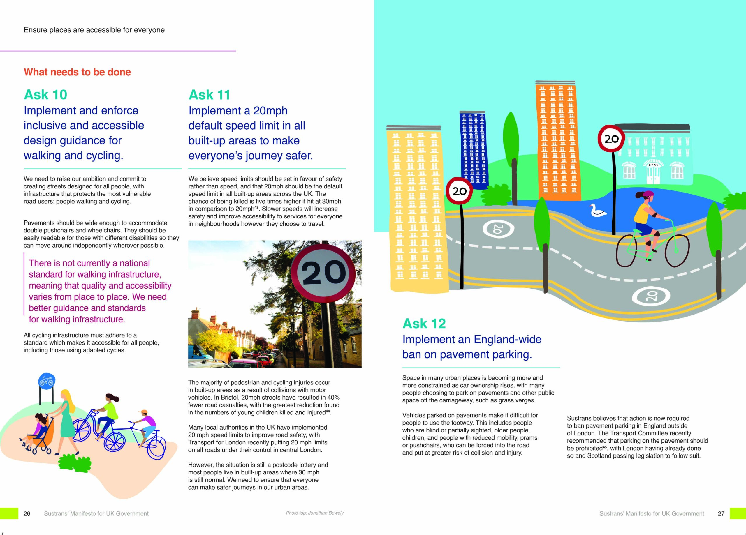
- Ensure places are accessible for everyone by walking, cycling and on wheel by implementing a 20mph default speed limit in all built-up areas and ban pavement parking.
The map needed to represent the strength and vitality of a community, rolling countryside on either side with the National Cycle Network clearly depicted with a mix of houses, a school, local amenities, children playing on the street safely, a theatre, electric vehicles and charging points.
The design also had to be friendly, unpretentious and had to reflect the diversity of a 21st century community in the UK appealing to a wide range of audiences.
Outcome
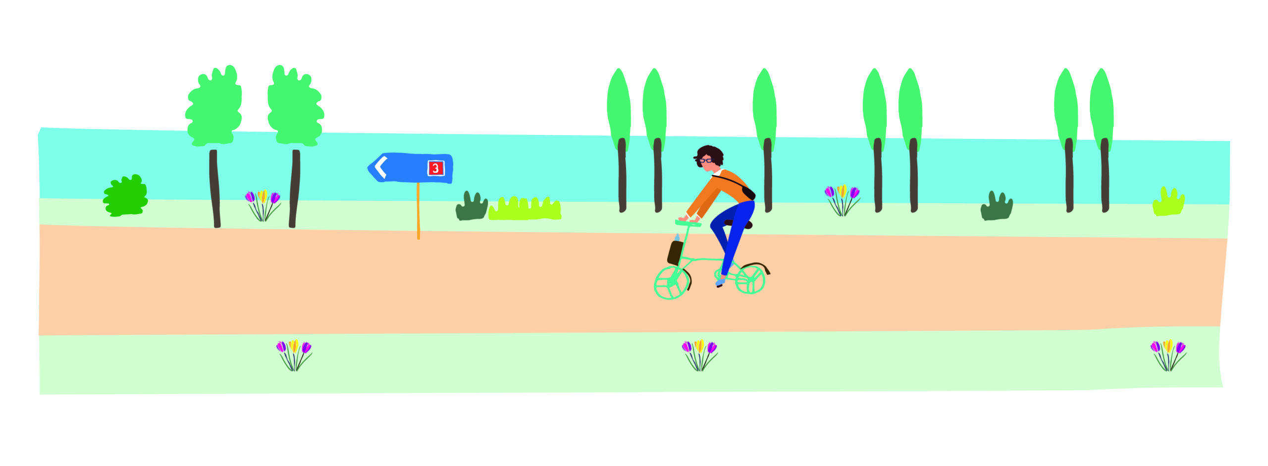
The 20 –minute neighbourhood illustration was mainly hand drawn in painstaking detail, then converted to vector. Similar to screen printing, I takes the negative from the image to form the design. Each item is essentially drawn to form the building blocks before putting everything together digitally at a later stage. A feeling of safety and tranquillity is conveyed whilst looking at the map.
I gained inspiration from aspects of the National Cycling Network across all the illustrations pulling in routes from the South West and the North, routes such as 3 ,4 and 26 around Somerset and Cornwall, and Route 6 around the Lake District.
